The proposed development will be a walkable and well-connected new place to live. A new network of pedestrian and cycle routes is proposed to safely and conveniently link housing to the Thanet Parkway station, existing facilities of Cliffsend and landscaped green space. Vehicular access for both development parcels is proposed via Cottington Road. These locations and arrangements are currently in discussion with Kent County Council, as are other potential signal and junction improvements along Cottington Road. Parking will be provided for the development, in line with local authority requirements. This will include parking provision for visitors and potential electric vehicle charging points.
The objective of the street design is to create a well-connected, safe and attractive environment which encourages people to use the public realm and active travel options. Formal tree lined streets, shared surfaces and rural edge lanes as part of a hierarchy of streets and punctuated spaces designed to enrich movement through the proposed development and new greenspace.
Overall, the proposed development is sustainably located next to a strategic public transport link, providing existing and future residents easy access to major employment, leisure and retail opportunities.
The emerging development has been informed by the heritage sensitivities associated with the site and the planning application will be accompanied by a Heritage Impact Assessment which includes a desk based archaeological assessment.
There are no designated heritage assets within the site.
Located adjacent to the site is the Grade II listed Saint Augustine Cross. This was commissioned by the second Earl of Granville to commemorate the landing of St Augustine in 597 AD at Ebbsfleet. The cross is inter-visible with the site from various locations and the approach to the masterplanning of the site has been designed to maintain a number of key views. Areas of public open space have also been incorporated adjacent to the cross to provide opportunities for greater public appreciation of the cross and also to retain its immediate undeveloped setting. This mitigation will mean the development will only result in a slight impact on the cross through changes within its setting.
The Site is located in an archaeologically rich area, with remains associated with Prehistoric to Romano-British occupation and funery activity recorded in recent fieldwork undertaken as part of the Thanet Way, Thanet Parkway and residential developments.
The emerging scheme has been informed by an understanding of the built and archaeological sensitivities associated with the site and the forthcoming planning application will be accompanied by a Heritage Impact Assessment. This includes a desk based archaeological study which will be supplemented by a muti-stage program of archaeological investigations aimed at increasing the knowledge of the archaeological landscape.
The Environment Agency Flood Map for Planning shows the majority of the site is contained to Flood Zone 1. Flood Zone 1 is defined as land assessed as having an annual probability of river flooding of less than 1% and all land uses are acceptable. Surface Water flood extents are shown in the northern part of the site but are generally low risk. All other sources of flood risk are considered to be low.
All residential development will be contained to areas at low risk flooding and existing surface water flow routes will be maintained.
Surface water flows will be conveyed to series of attenuation basins across the development area, which will discharge to existing watercourse and sewer systems. Attenuation rates will be restricted to below existing greenfield runoff rates and all attenuation will cater for 1 in 100 year plus climate change storm events. Suitable treatment of surface water flows will be provided for in accordance with relevant guidance.
Foul water flows will discharge via mix of gravity and pumped solutions, connecting to the existing Southern Water sewer network located to the east of the site.
Air quality within the local area is generally good, with no exceedance to any objective levels in recent years. An Air Quality Management Area (AQMA) has been declared in Ramsgate, approximately 2.9 km from the site and subsequently, however this will have no effect on the proposed development.
An Air Quality Assessment will review published air monitoring and modelling data for the local area and calculate relevant air pollutant concentrations from nearby local roads to determine impacts from the site pre and post development and identify likely mitigation measures. Mitigation is likely to include:
As acknowledged by Thanet District Council, there is a climate emergency and we are considering a range of ways to ensure the proposed development will appropriately respond to achieve good environmental sustainability.
Preliminary ecological assessments show 10% Biodiversity Net Gain will be achievable on site without the need for offsite mitigation. A future outline planning application will be supported by a Ecological Assessment/Protected Species Survey.
Sustainable measures could include:
The principal sources of noise affecting the include road traffic using the A299, the A256 and Cottington Road, coupled with rail noise from the Southeastern Railway line and Thanet Parkway station.
An environmental sound survey has been undertaken within the Site in order to determine the prevailing acoustics conditions. An acoustic model has been created in order to predict sound levels across the Site for comparison against relevant criteria contained within ProPG, BS8233, AVOG and BS4142.
Mitigation measures for the scheme are still being refined, however the following good acoustic design principles in line with Professional Practice Guidance on Planning and Noise (ProPG) will be followed:
An agricultural land classification detailed survey and report will be submitted in support of a future application.
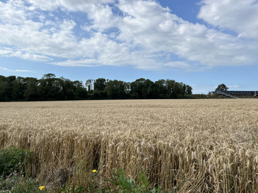
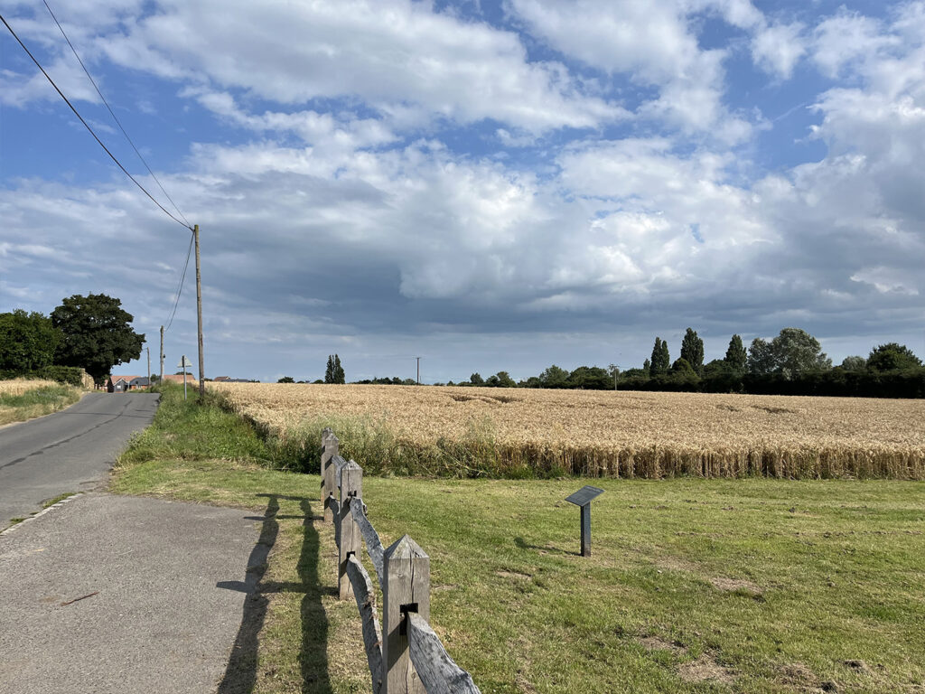
Currently, the Site is identified within the provisional mapping as Grade 1 BMV agricultural land. This is not uncommon for the area as virtually all land surrounding Cliffsend, Ramsgate, Broadstairs and Margate is also shown as Provisional Grade 1. Upon detailed surveys of surrounding land, most Provisional Grade 1 land has been shown to be Grade 2 and 3a, and the closest known data to the Site is the Thanet Parkway Station, which was classified as Grade 2.